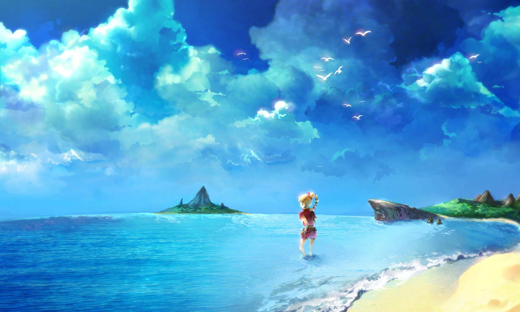
Wow, just beautiful, it takes into account what is in the game but not within view. Which actually makes me think, if the beach is in the South of the island, and the cape where Serge's grave is, is on the West coast of the island doesn't that mean this picture is incorrect? The angle wouldn't look out towards the cape would it?
Depends on if the world is flat and how big the map is (i only got up to terminus so i don't really know, but i'll explain from an assumption thats as far as it goes north) fold the edges of that island round to form a sphere (just as you would a map of the earth to form a globe) and from there it would make it make perfect sense. (and still works unless the actual world is something like 100 times bgger than just that island) compare http://en.wikipedia.org/wiki/File:Mollweide-projection.jpg with http://en.wikipedia.org/wiki/File:Dymaxion_map_unfolded.png
or theres the much simpler excuse of the beach is on the north of the island (I.E that specific part is hidden from the player by the trees) though thats the easy way out that woulnd't have required me to have to search for the world map to remind myself of the name of a mollweide projection.
I originally thought it was supposed to be Gaea's Navel but now that I double check the scenery I believe it is supposed to be Skye Dragon Isle. http://www.uffsite.net/ccross/images/wm1.jpg And if you look at the map you will indeed see that there is a beach more towards the South Western coast of the main island.
